Connecting Space to Village - How the SERVIR Program Bridges the Gap between Science and End User Needs in Africa, the Americas, and Asia
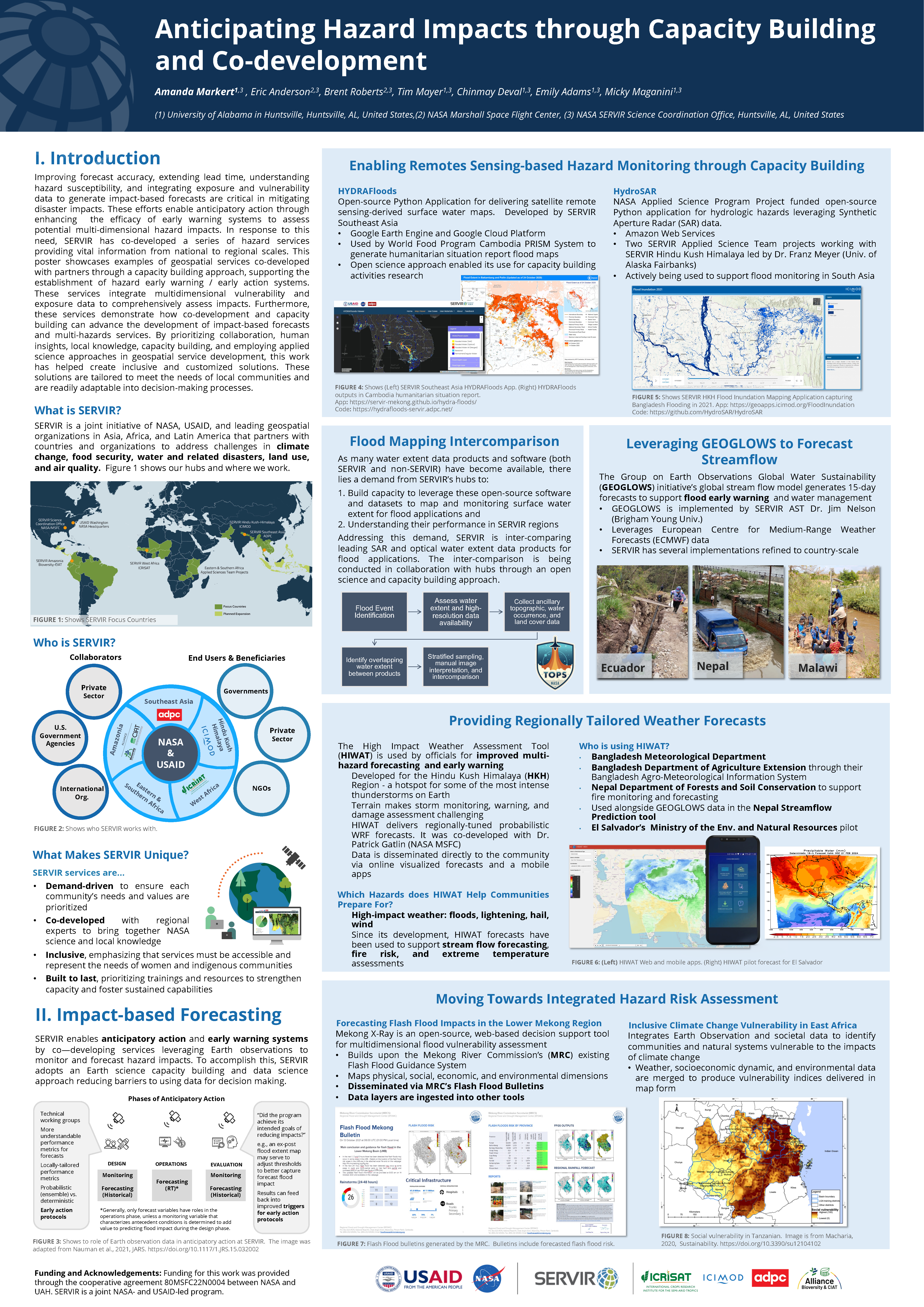
Originally established in Mesoamerica in early 2005, the NASA / USAID program now has activities in six regions of the world, working in collaboration with regional centers of excellence (SERVIR ‘hubs’) which leverage Earth observation data to address development challenges, in so doing “connecting space to village” (i.e., the program’s motto). Across the program’s implementation, activities have shifted from initially providing satellite-derived datasets and model outputs for environmental decision support to co-creation and co-development, with stakeholders, of medium- to long-term services across five thematic focus areas. Across its international network, SERVIR’s activities are likewise guided by a 2020-2025 strategic plan which aligns with strategic guidance documents from NASA and USAID, including the NASA Earth to Action Strategy, and the USAID Climate Strategy. The SERVIR program also operates synergistically with its similarly long-standing sister ‘program elements’ of the Applied Remote Sensing Training (ARSET) and DEVELOP, from the NASA Earth Action Capacity Building Program, with all three program elements focusing on strengthening stakeholder capacities. Toward that goal of strengthening end user capacity, the program has also engaged in partnerships with other US Government institutions and initiatives, international organizations, NGOs, academic institutions, and the private sector. With almost twenty years of activities across multiple continents under its belt, the SERVIR program has documented many lessons learned in terms of strengthening capacity and bridging the gap between science and data and end user needs. In the spirit of this session’s overarching objectives, this presentation will specifically focus on those lessons learned, with a perspective on how those lessons might be applied to other programs and contexts.

