Talks

2023

Applicability of an Online Decision-Support Tool (WEPPcloud) to Watershed-Scale Forest Management in the Western US

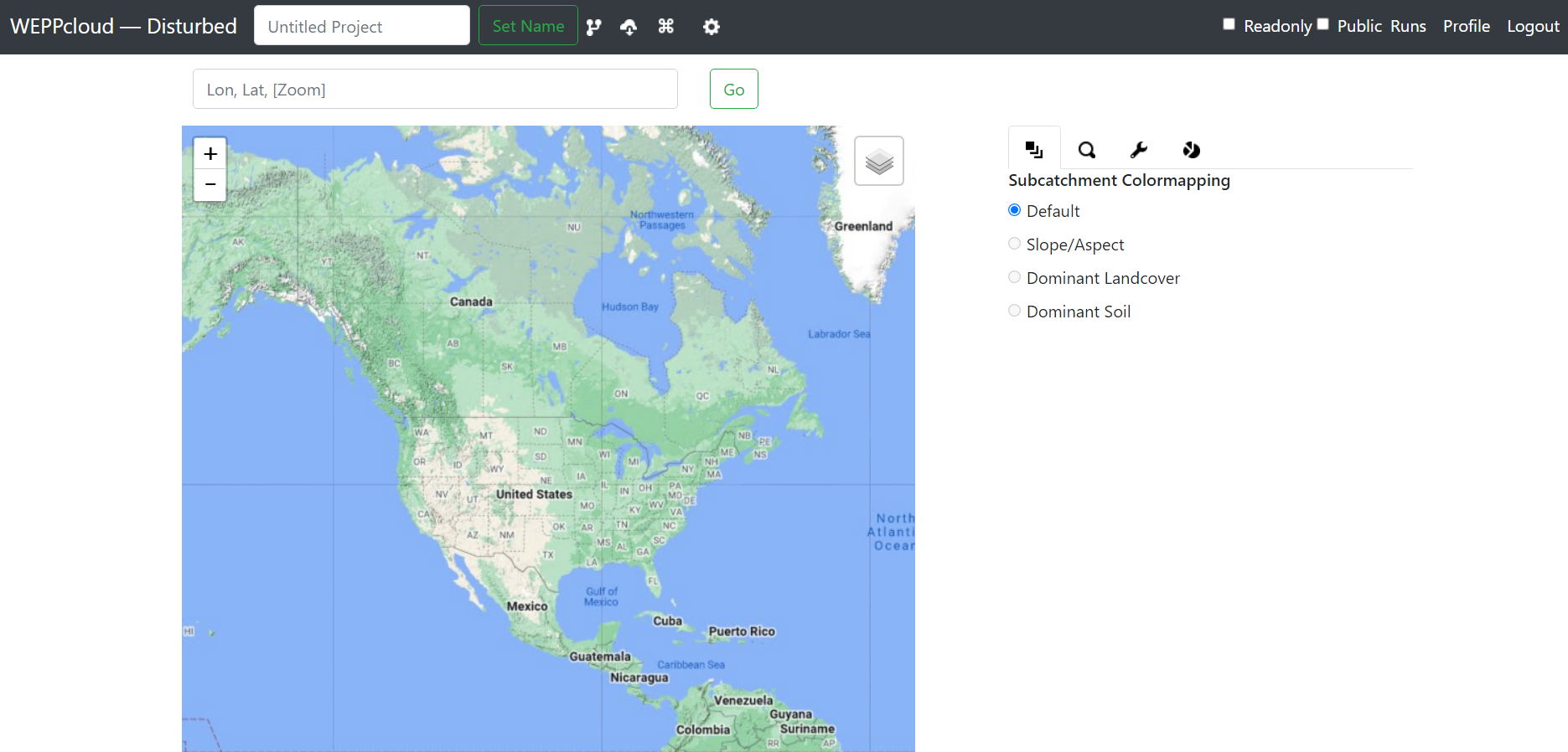
The Water Erosion Prediction Project (WEPP) model is a process-based computer simulation model that has been widely used in research and by land managers to predict runoff and soil erosion from both agricultural and forested areas. While the model can produce accurate predictions with proper input data and minimal calibration, its usability has been limited by data accessibility and processing, and model setup. WEPPcloud is a free online interface developed mainly for forest applications that allows users to run WEPP without explicit knowledge of GIS and computer programming or even the area being modeled. All input files for the WEPP model are either automatically created from freely available databases or are used directly from an extensive WEPP database stored locally on the server. WEPPcloud also includes algorithms to simulate phosphorus yield based on simple static phosphorus concentrations in surface runoff, subsurface lateral flow, baseflow, and particulate phosphorus concentration attached to sediment. Recently, the WEPPcloud capabilities have been used in various applications to aid land managers with making decisions about pre- and post-fire fuel management and soil erosion. We will specifically present results from a basin-wide modeling effort in the Lake Tahoe Basin (Figure 1) where we compared several management scenarios (uniform high, moderate, and low severity, uniform thinning, simulated wildfire under current climate and future climate conditions) to current management conditions based on historic weather data. Similarly, we will demonstrate the applicability of the WEPPcloud interface to two municipal watersheds in Portland and Seattle, respectively. All hydrologic simulations were conducted online with the WEPPcloud interface. Minimum calibration was performed on watersheds using data from a USGS gauging station and calibrated parameters were applied uniformly to all modeled watersheds. All results are for individual hillslopes, channels, and at each watershed outlet. Average annual surface runoff, lateral flow, baseflow, sediment detachment, deposition, and yield, and total phosphorus, soluble reactive phosphorus, and particulate phosphorus are displayed both in tabular (as a text file) and visual (as a shapefile) format for each individual watershed or for multiple watersheds combined. Managers can further use these results to sort and select hillslopes that are generating more runoff and erosion based on specific hillslope attributes such as slope steepness or soil or management type for each simulation scenario. Lastly, we will discuss advantages and disadvantages of using online interfaces for hydrologic modeling and forest management.

January 10, 2023

ASABE Soil Erosion Research Under a Changing Climate Conference / Puerto Rico, USA


Conference website

2022

Download WEPPcloud project using wepppy-win-bootstrap

In this video, I walk you through downloading a WEPPcloud project to a windows machine using Wepppy Win Bootstrap. wepppy-win-bootstrap provides two approaches to download the WEPPcloud runs. One approach uses Wget in the windows batch script and the other approach uses python script.

May 17, 2022

FS WEPP Youtube Tutorial


Youtube

2021

Timely Decision Support for Watershed Management with WEPPcloud

Since the development and availability of GIS-based software and satellite imagery, there has been a vision that watershed managers would have near-real-time, three-dimensional hydrologic and soil erosion models that could easily assess impacts of watershed management decisions at high spatial resolutions across multiple scales. Our research team has made significant advances to address this challenging problem especially in the forest environment. The technology and data retrieval and access has dramatically improved to the point where it is possible to provide useful, near-real-time, geospatial decision support for watershed managers. This talk describes an online watershed model called WEPPcloud, widely used by the Forest Service and one of the FSWEPP suite of watershed tools, which is based fundamentally on a process-based hydrologic, soil erosion model (WEPP, Water Erosion Prediction Project). WEPPcloud is driven by discoverable, data-rich geospatial mapping products (e.g. soils, topography, satellite-based vegetation characteristics) and management libraries. It accesses daily grid-based historical and future projected climatic data to provide a comprehensive spatially and temporally explicit assessment of the impacts of management decisions on hydrologic response and sediment transport. Currently, WEPPcloud can be applied throughout the continental US, and beta versions are available for Australia and Europe. We will demonstrate this tools’ development and application to guide pre-fire fuel management and post-fire mitigation, flood risk for communities where drinking water supplies and water resources are vulnerable to wildfire. We will discuss the ongoing limitations, challenges and opportunities towards more fully incorporating geospatial hydrologic and soil erosion models into watershed management decisions.

April 28, 2021

ISMC Conference ─ Advances in Modeling Soil Systems / Virtual Meeting


Conference website

2020

Viz-WEPPcloud- A Web-based, Interactive, Hillslope Scale BMP Guiding Tool for the Water Erosion Prediction Project (WEPP) Model

Hillslope or watershed scale process-based hydrology and water quality simulation models are commonly employed to investigate the potential effects of land management and climate scenarios on water quality. Because of their complexity, such models are not always useful for planners and this limits their usability as planning tools. The Water Erosion Prediction Project (WEPP) model is a process-based hydrology and erosion model, which has been wildly applied to a multitude of land uses and management scenarios across the US. WEPPcloud is a watershed-scale interface for the WEPP model that can be applied anywhere in the US. Users only need a computer connected to the internet to run the model and all the data inputs and outputs are processed on servers, therefore making WEPP more accessible even to land managers that might not be adequately trained with the model. Land managers can use the interface to run and compare scenarios for selection of Best Management Practices (BMP). Our objective was to further aid managers in the decision-making process by developing a post-processing, interactive tool (Viz-WEPPcloud) that can be used to identify erosion hotspots and hillslopes suitable for targeted management. Detailed hillslope and scenario results from the WEPPcloud interface can be imported in Viz-WEPPcloud and displayed interactively. We demonstrate the usability of the Viz-WEPPcloud interface for erosion management with outputs from 20 watersheds in Lake Tahoe basin simulated for 11 different scenarios that include fuel treatments, prescribed fires, and wildfires of varying severities. We also exemplify the use of Viz-WEPPcloud to identify, quantify, and visualize hillslopes that are most susceptible to disturbance under different scenarios based on constraints such as land use, soil type, and slope steepness. This approach guides planners in targeting the hillslopes that provide the greatest reduction in sediment load by treating the least amount of area.